Day 23 Bad Godesberg – Erpel
Bad Godesberg – Erpel
20 October 2018
I woke up in the place we sang about with Jana and her singing group.
“Home I’m going home, I need a land to feed my soul, take me home take me home over the green green hills and far away.”
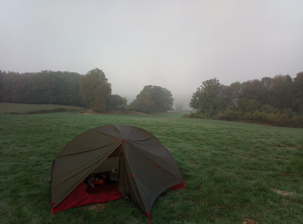
What they didn’t say in the song, was that it would be very foggy and my tent would be soaked from the fog. The only thing that was left to do, was pack my tent wet. I made some tea and finished my pasta of the evening before.
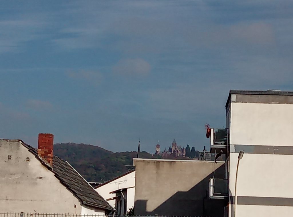
When I was leaving Bad Godesberg I saw a beautiful castle church combination. I hope it is a bit visible on the photo.
Then I met two women who thought I was a pelgrim. And they asked me where I was going. So I did and told them that I was not a pelgrim. They were searching for walnuts. When I walked on and also looked for nuts, they came after me and gave me some of their nuts and said a few ridiculous lines which I did not understand and I told them that I was not a pelgrim.
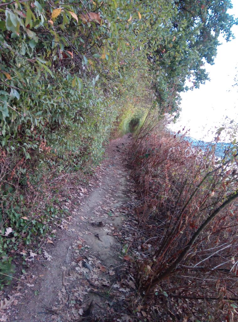
The road ahead was this steep unpaved road.
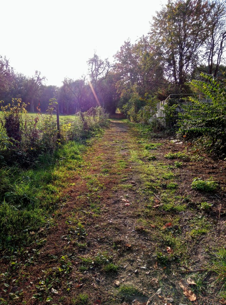
It continued for quite a while. At the top I was back on the E8 again.

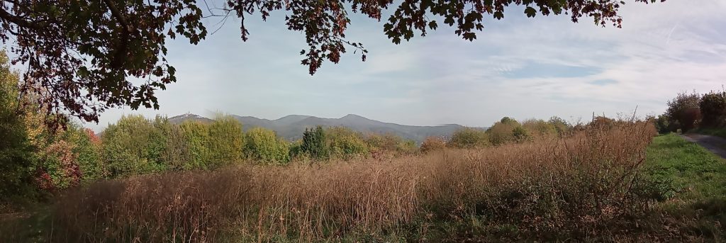
There I took the new photo on the top of my blog.
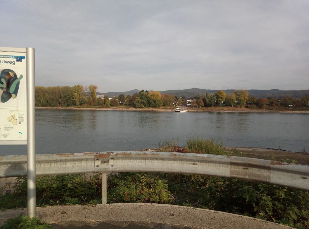
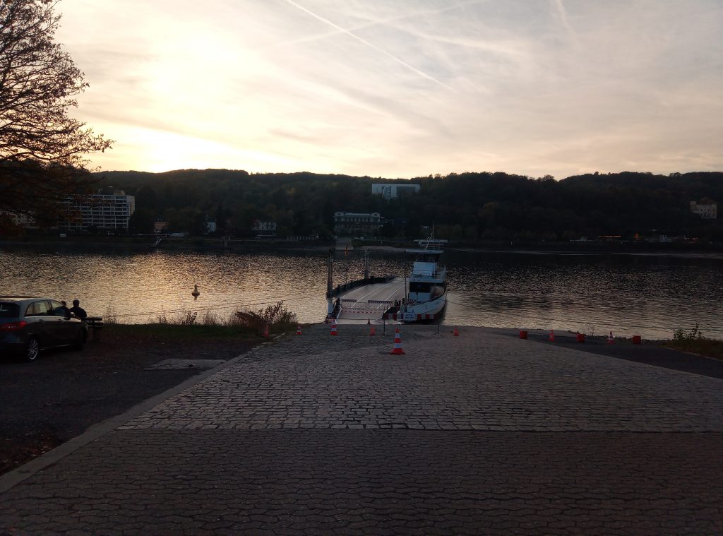
I walked down to Oberwinter to take the ferry to cross the Rhein. The road down the hill to the ferry was a difficult one. It was cobble stone road which is slippery by itself, but there were also leaves on so I had to go super slow.When I arrived at the ferry, it didn’t go because of the lack of water in the river.
So I hiked back to Bad Godesberg where there was going a ferry. Two guys took me along and I told them that I was from the Netherlands. They put up rap music and said it was from the Netherlands, but the only Dutch thing about it was the name of the song: ‘Rotterdam’, but the lyrics were German.
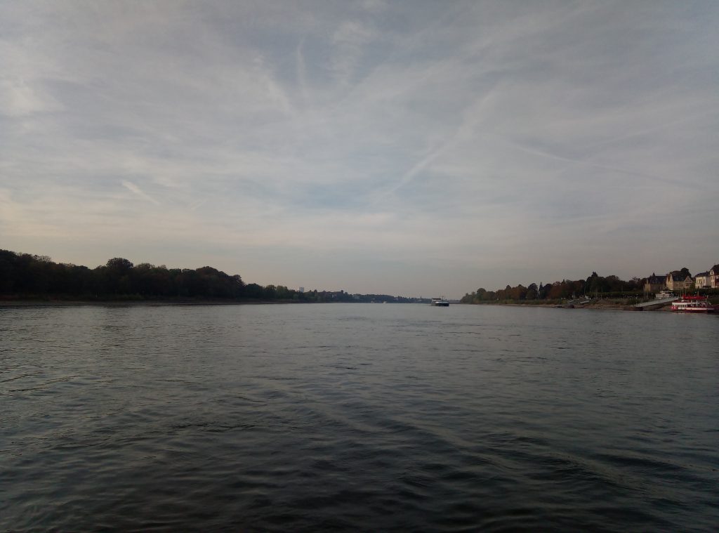
I hopped on the ferry. It gave a great view over the river.
At the east side I took a sort of combination of a tram and a metro to the point where the first ferry would have dropped me off.
I followed the Rhine upstream along the riverbed, this was not a great idea because the terrain became too rough to continue so I turned around and went back to the ferry. From there I took the line path, this is parallel to the river.
I passed by these markings with indication how high the water has been in different years.
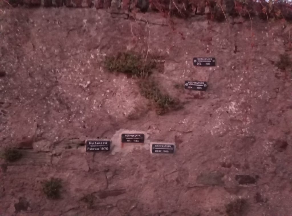
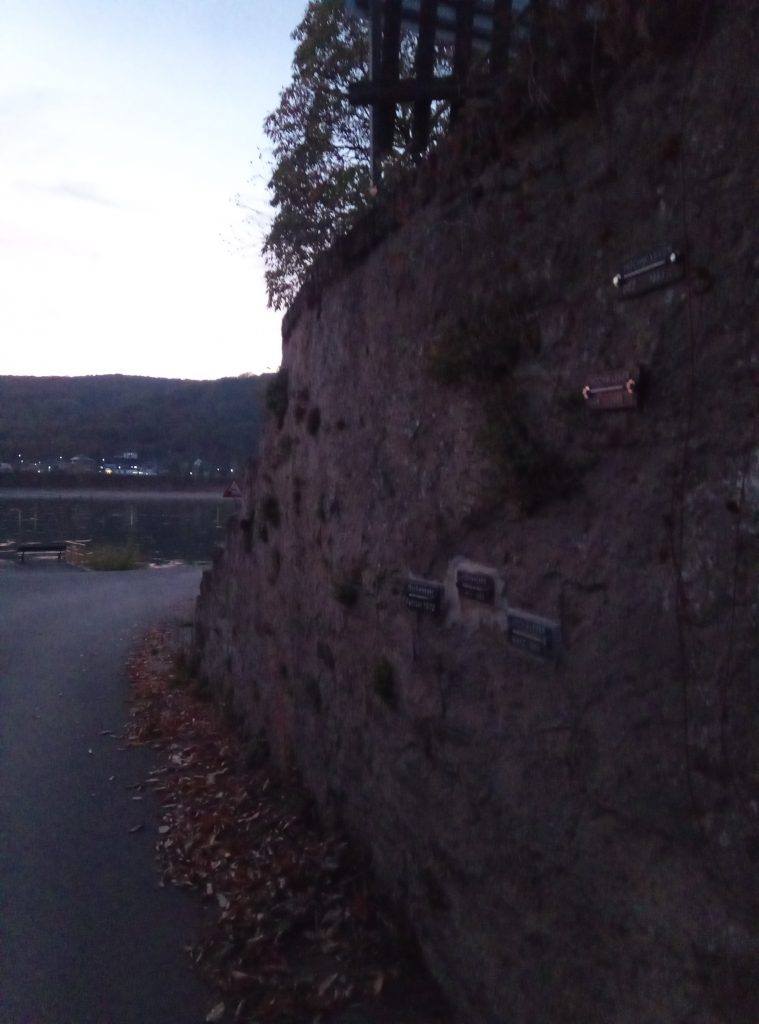
I found it to be a big contradistinction as you can see how low the water is now.
In Erpel I arrived more than two hours later because of the detour I had to make.